AERIAL SURVEY/DRONE
Scanamatics has FAA licensed pilots to aid in aerial video, building surveys, property surveys, and photogrammetry services.
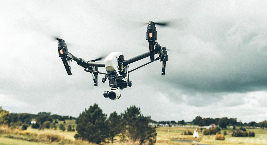
We utilize DJI brand drones equipped with HD video and HD photo cameras.
We offer safe, accurate and cost-effective data collection, ensuring positional accuracy in vast,
dangerous or hard to reach areas.
We have extensive experience with and knowledge of drones. We work closely with our clients to harness
the power of these unmanned aircraft systems for their specific needs and applications.
Applications for Drone Services
-
Urban Planning and Land Management – digital surface and terrain models
-
Construction – as-built surveys reduce the need to physically access job sites
-
Engineering – from measuring cut and fill volumes, to inspecting crucial infrastructure
-
Mining and Quarries – collecting accurate data boosts productivity through improved inventory management and planning
-
BIM – data can be used to generate highly detailed and accurate 3D models
-
Energy and Infrastructure - Inspect linear assets such as pipelines, powerlines, rail routes and waterways
Custom Deliverables for Drone Services
Scanamatics can combine highly accurate point cloud data from our laser scanners to the drone photogrammetry to create dimensionally accurate aerial photographs. We can provide the following deliverables to clients:
-
Point Clouds
-
3D Models
-
2D Orthoimages
-
2D CAD Drawings
-
Flythrough Videos
We have worked in many different industries completing successful projects throughout the United States.
With the rapid rise of the drone industry, the amount of businesses entering the marketplace and offering aerial drone services has increased exponentially. Much more goes into operating a professional, high-quality, safety-conscious drone than simply purchasing and flying one.
We take great pride in offering aerial drone services for our clients.

